Carr Fire Pollution Mitigation Project (27-30)
For a map of the most recent progress click here
Erosion control areas were determined by the Central Valley Regional Water Quality Control Board through geographic information systems (GIS) analysis with consideration of the following parameters:
- Proximity (within 665 feet) to class I, II, or III waterways that enter the Sacramento River between Keswick Dam and the CA Highway 44 Bridge.
The watersheds are:
- Rock Creek
- Middle Creek
- Salt Creek
- Jenny Creek
- Carter Creek
- Carr Fire high burn severity.
- Slopes that are less steep than 40%.
- Located on non-Federally owned land.
The goal of this effort is to protect these waterways which are of critical importance to the Sacramento river anadromous fishery.
Erosion control treatment primarily consists of hand broadcasting native grass seed and straw mulch or hydroseeding.
This effort is being funded by the State Water Board. Work is being conducted by WSRCD, California Conservation Corps, and CalFire crews at no cost for landowners.

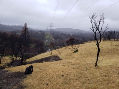
Rock Creek: Treatment
1/16/2019
1/16/2019
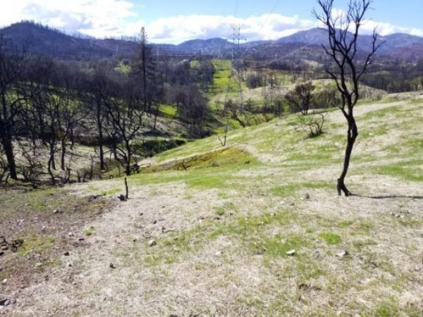
Rock Creek: post-Treatment
3/21/2019
3/21/2019